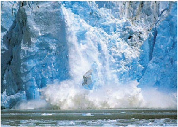

We have only recently been able to understand the impact our behaviour is having on the ocean and its ecosystems. This is mainly due to technological advances, which we are becoming increasingly dependent on for understanding the impact of our actions on environment.
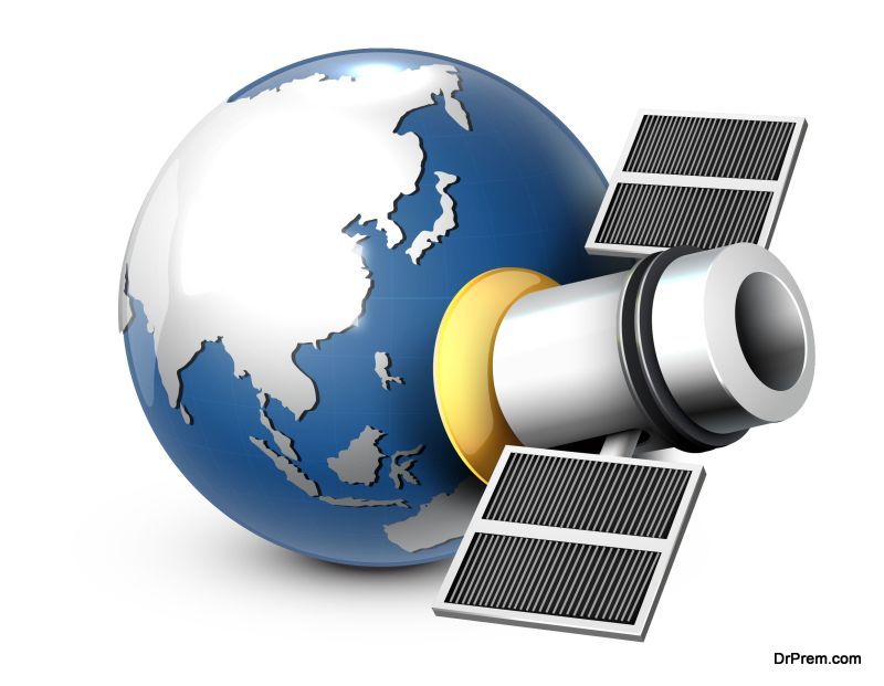
Ensuring our marine industries advance responsibly and intelligently will play a hugely important part in minimizing environmental damage as we move towards a sustainable future. Satellites in particular offer us a chance to observe patterns and changes in the ocean that we would otherwise struggle to monitor. This information can be invaluable for prompting change to what is often an exploitative relationship with Earth’s water bodies.
Policing overfishing from space
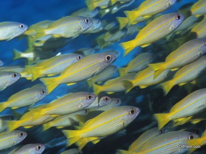
Ocean ecosystems are being ravaged by fishing industries across the world. Since the 1970s, marine wildlife has almost halved, bringing many species closer to extinction and putting many other populations at risk – including our own.
In order for oceans to replenish their supplies, marine conservation efforts need to become stricter and more ambitious. Conservation authorities need to be able to identify which areas are being overfished and enforce other security-related restrictions.
By aiding the monitoring of certain distinguishing sailing behaviours, satellites can help prevent maritime piracy; this is done through identifying boats that belong to the fishing industry and track their activity during ocean excursions. Last year, non-profit organisation Global Fishing Watch – a partnership of Google, Oceana and SkyTruth – used satellites to monitor a stretch of Pacific ocean that had recently banned all fishing.
The satellites were able to follow fishing ships and chart their routes through and around the area. After 6 months of observation, tracking revealed that only one boat had illegally fished in the area.
One of the most valuable services satellites can offer is real time reports on even the most remote regions of sea. If a serious marine fishing violation was identified, the exact nature and location of the event could be sent to coastal authorities and swift, appropriate action taken.
Highly informed shipping routes will reduce whale casualties
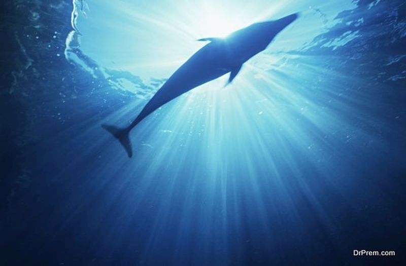
From the smallest ocean inhabitants to the largest; satellites are playing an increasingly large role in protecting whales from being caught in shipping collisions and nets. These are both threats which, given the right attention and direction, are completely avoidable.
Boat traffic, made up of trade vessels, fishing ships and huge cruise liners, often sail through whale migration routes, causing huge numbers of them to be killed in collision each year. In order to stop this from happening, information on migratory patterns has been taken into account by many marine industries so that they can plan routes around them.
Satellites are the best way to conduct maritime monitoring and gather vessel tracking information. Using this data, ships can navigate around areas of ocean where the risk of collision is the highest. NASA is one of the agencies contributing satellite data to whale protection programmes such as WhaleWatch. Thanks to this, accurate predictions about the monthly, or even daily, movement of whales can guide vessels accordingly.
Protecting ocean flora
As satellite technology advances, we have access to a higher quality of visual information than ever before. Constant streams of high-resolution photographs are providing us with real time insights into the changing shape of the natural marine world on a global scale.
Declining coastal forests, damage to coral reefs and rising levels of sea pollution can all be observed from space. In 2013, NASA discovered a mass of phytoplankton floating off the coast of France. In such large quantities, plankton can produce toxic chemicals capable of destroying entire ocean ecosystems. NASA revealed that the mass of phytoplankton had been caused when agricultural fertilizers had run into the ocean and caused rapid growth. This news was significant in heightening awareness around waste disposal and water pollution.
Satellites are also able to predict where and when these blooms of plankton and algae might begin to form. This enables the appropriate authorities to take steps to break up and remove the harmful mass before they damage sensitive coral reefs.
Article Submitted By Community Writer